If the idea of morning walks by the water and weekend paddles sounds like your kind of North Atlanta lifestyle, Johns Creek’s stretch of the Chattahoochee delivers a rare blend of nature and suburban ease. You want quick access to parks and trails, but you also care about commute times, neighborhood feel, and long‑term value. In this guide, you’ll learn where to launch a kayak, how the river shapes local neighborhoods, and what to know about safety, buffers, and flood insurance. Let’s dive in.
Chattahoochee overview
Johns Creek hugs the Chattahoochee for about 13.5 miles inside and along the city limits, according to the city’s profile. You feel the river’s presence in daily life, from scenic overlooks to trailheads and neighborhood parks. Portions of this corridor are managed as units of the Chattahoochee River National Recreation Area, which brings well‑marked trails and formal launch sites into the mix. The City also added a major destination in 2023 with Cauley Creek Park, a 203‑acre riverfront park with a 5K rubberized loop, overlooks, and a pedestrian bridge that links to Gwinnett’s trails.
- Learn more in the city’s profile that outlines river mileage, planning, and protections: City of Johns Creek profile
- Explore detailed unit maps and launches in the National Park Service brochure: CRNRA park brochure
- See Cauley Creek Park amenities and access: Cauley Creek Park
Parks and access
Public access points around Johns Creek include McGinnis Ferry, Abbotts Bridge, Medlock Bridge, and Jones Bridge. Each unit offers a mix of parking, picnic spots, hiking trails, and water access. Common float segments published by the NPS include Abbotts Bridge to Medlock Bridge at about 4 miles, Medlock Bridge to Jones Bridge at about 3 miles, and Jones Bridge to Chattahoochee River Park at about 12 miles. Float times vary with weather and Buford Dam releases, so plan ahead using official NPS resources.
Public access highlights
- Jones Bridge launch: Boat, canoe, kayak, and raft access with a small lot and weekend trailer rules. The NPS launch page also links to water quality notes and flow guidance. See details at the Jones Bridge launch page.
- McGinnis Ferry launch: Paved ramp for power and non‑motor boats with limited parking. Check the NPS brochure before you go for hours and current policies.
- Cauley Creek Park: A spacious, family‑friendly base for trails, river overlooks, and meetups, with a pedestrian connection across Rogers Bridge.
- Jones Bridge Park: Wooded riverside trails and historic bridge remnants offer a classic Chattahoochee viewpoint in a natural setting. Get a feel for the scenery via this overview of Jones Bridge Park.
Paddling, tubing, fishing
You can kayak, canoe, paddleboard, raft, or tube on this stretch, and anglers will find trout and warmwater species in season. Before you plan a float or contact with water, check current E. coli advisories and flow rates. The NPS publishes suggested maximum flow thresholds and safety tips, including canceling canoeing and kayaking above about 4,000 cfs and avoiding rafting above about 5,000 cfs, with tubing discouraged at lower flows. For current advisories, launch rules, and the Buford Dam release schedule, start with the NPS Jones Bridge launch page.
Neighborhoods and homes
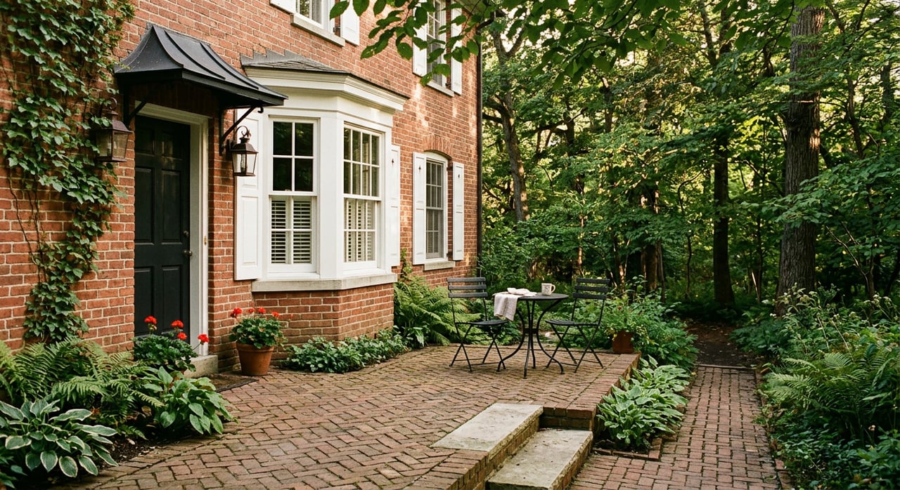
Neighborhoods near the river reflect Johns Creek’s suburban growth in the 1980s through the 2000s, a period when most of the city’s housing was built. You will see traditional brick fronts, neo‑traditional plans, and mature tree canopies common to that era. Many subdivisions offer private amenities, and a few river‑adjacent enclaves back to conserved parcels or maintain private river parks. One documented example is Rivermont, which preserved a 27‑plus‑acre riverside park through a conservation easement that protects open space long term; homeowners should review HOA rules for access and use.
- For context on how open space protections work, see this overview of conservation easements: Valuing Conservation Easements
Market context
The U.S. Census American Community Survey estimates the median value of owner‑occupied homes in Johns Creek at about $583,700, with a high rate of owner occupancy. Treat this as big‑picture context rather than a live market snapshot, since list and sale prices shift month to month. If you are comparing neighborhoods near the river, your agent can help you weigh location, condition, and recent comps to understand value.
- See ACS 2019–2023 context: Census QuickFacts for Johns Creek
Commute and roads
Mean travel time to work for Johns Creek residents typically runs around 30 to 30.4 minutes. Your primary corridors include SR‑141, McGinnis Ferry Road, State Bridge Road, GA‑400, and Holcomb Bridge Road. If you plan regular paddles or park trips, living closer to CRNRA units or Cauley Creek Park can trim weekend drive times.
- Regional commute context: Census QuickFacts commute data
Safety and seasons
Urban rivers change quickly with storms and dam releases, so build a simple routine before each visit. Check E. coli advisories, confirm Buford Dam release timing, and pick a section that fits your group’s skill and the day’s flow rate. Parking lots at CRNRA units can fill fast on weekends, so arrive early or use larger city parks as your meetup point. When in doubt, choose a shorter float, wear PFDs, and cancel if flows are near or above NPS thresholds.
Floodplain and buffers
The Chattahoochee corridor here is protected by the Metropolitan River Protection Act and local rules that include a 50‑foot undisturbed buffer and added setbacks or surface limits in certain areas. Parts of the riverfront also include mapped 100‑ and 500‑year floodplains. If you are buying, verify the parcel’s floodplain status and discuss insurance with your carrier. For remodels or additions, confirm setbacks and buffer rules with the City’s planning or stormwater staff early in the process.
- Planning and corridor protections summary: City of Johns Creek profile
River‑living checklist
- Confirm your nearest public launch and where trailers are allowed. Jones Bridge and McGinnis Ferry have different parking capacities and rules.
- Check E. coli advisories and the Buford Dam release schedule on the same day you plan to paddle or wade.
- Plan your float segment and shuttle before you go. Shorter segments are better for families and first timers.
- Expect limited parking at CRNRA units on weekends. Arrive early or start at a larger city park such as Cauley Creek for group meetups.
- Review HOA rules if your subdivision has private river access or a park. Confirm guest policies and hours.
- Ask your insurer about flood coverage if your property is near mapped flood zones. Verify buffers and setbacks before design work.
- Think about gear storage and mud‑room solutions. A clean, organized entry makes river life easier and boosts resale appeal.
Plan your move
Living near the Chattahoochee in Johns Creek gives you daily access to one of North Georgia’s most beloved rivers without giving up suburban convenience. If you want a home that balances trail access, thoughtful design, and long‑term value, you need a plan for both lifestyle and logistics. For tailored guidance on neighborhoods, staging for top presentation, and a smooth process from search to closing, connect with Pamela Bills. Schedule a Free Consultation to get started.
FAQs
What public Chattahoochee launches serve Johns Creek?
- Key options include McGinnis Ferry, Abbotts Bridge, Medlock Bridge, and Jones Bridge, each with parking, trails, and water access as described by the National Park Service.
Is tubing safe on the Chattahoochee near Johns Creek?
- Safety depends on daily E. coli advisories and flow rates influenced by Buford Dam releases; cancel plans if flows approach NPS thresholds and always use PFDs.
What types of homes are common near the river in Johns Creek?
- Many are suburban single‑family homes built mainly from the 1980s to the 2000s, with traditional brick styles, mature trees, and occasional neighborhoods with private park access.
How does the river affect permits and insurance for homeowners?
- River‑corridor buffers and mapped floodplains can limit where you build and may affect insurance; verify setbacks with the City and review flood coverage with your insurer.
Where can I find park and launch updates before a visit?
- Check the NPS CRNRA unit pages for launch rules and closures and the City’s parks pages for facilities like Cauley Creek and State Bridge Park.
How long are common float segments near Johns Creek?
- NPS lists segments such as Abbotts Bridge to Medlock Bridge at about 4 miles and Medlock Bridge to Jones Bridge at about 3 miles, with total time varying by flow and weather.